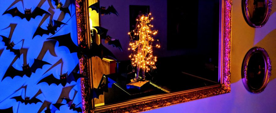
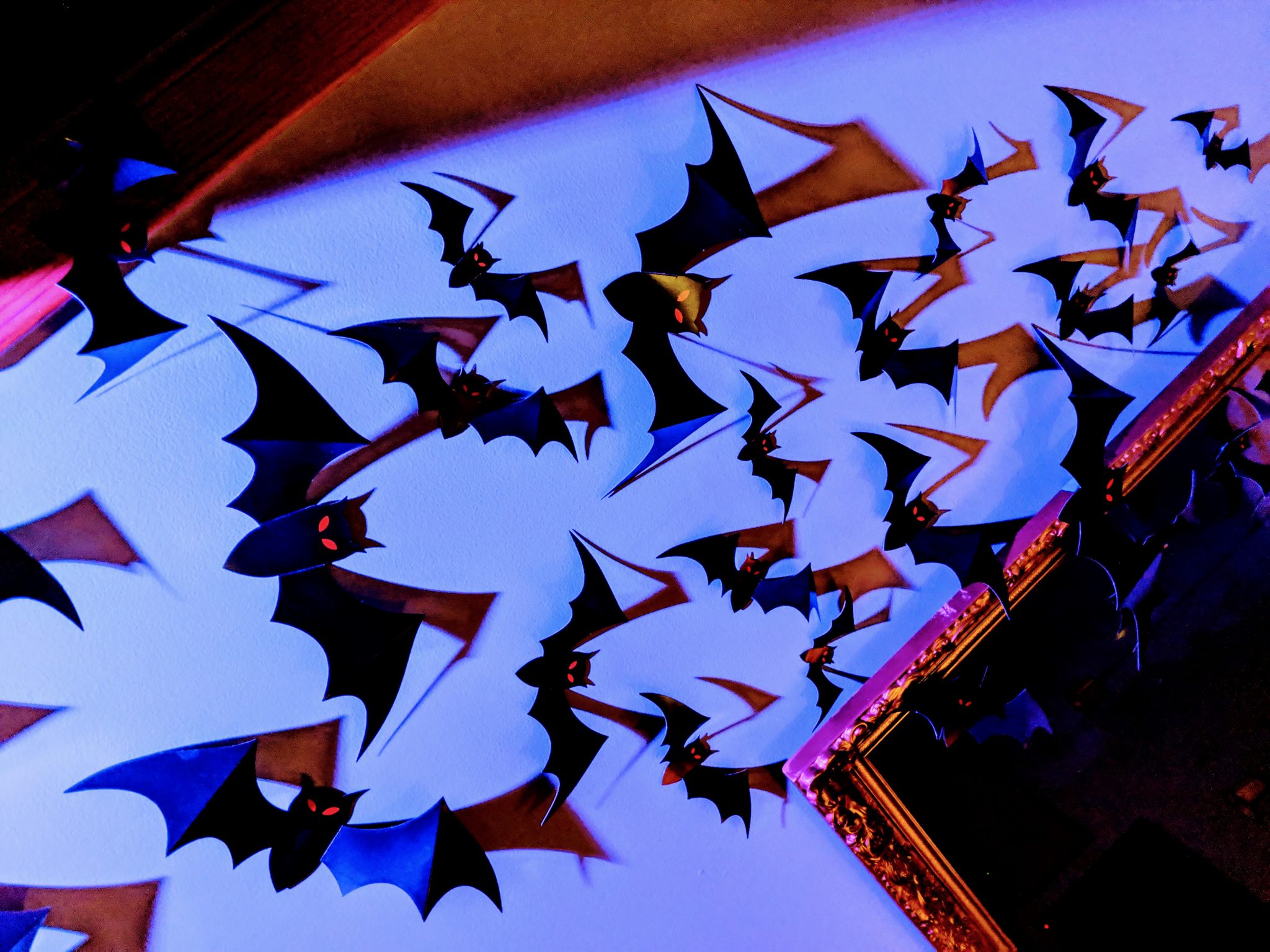
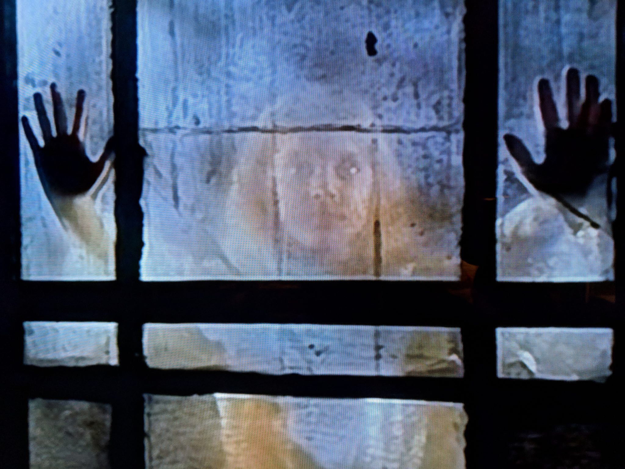
Mario Bava is definitely the inspiration for our interior Halloween decor this year. Oh, who am I kidding, we go for the Bava look anytime we can…
The bats are pretty cool, but it’s the powerful LED spotlight that really transforms the dining area.
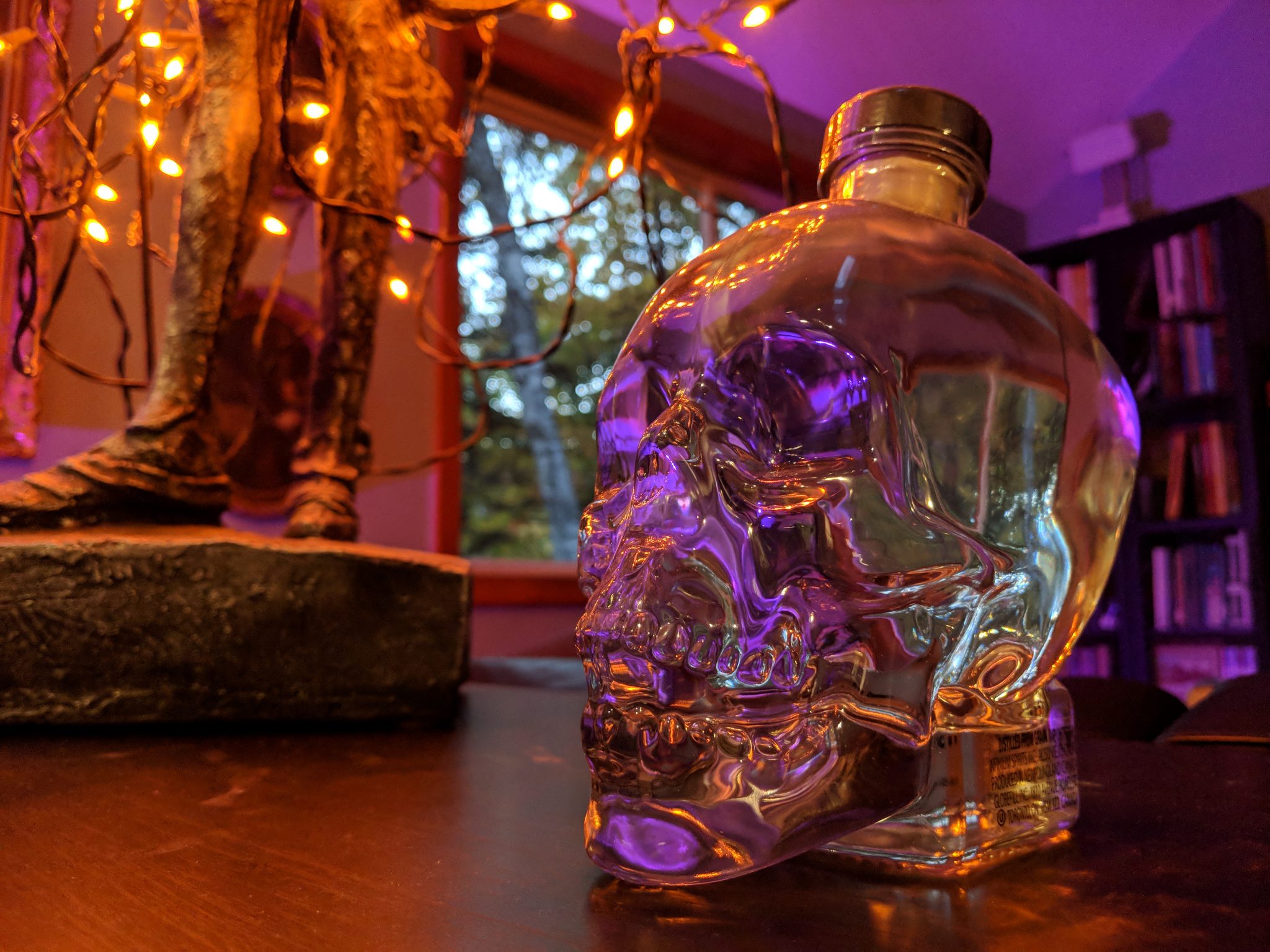
And of course, Terror Fest continues. (Don’t look out the window if you scare easily!)
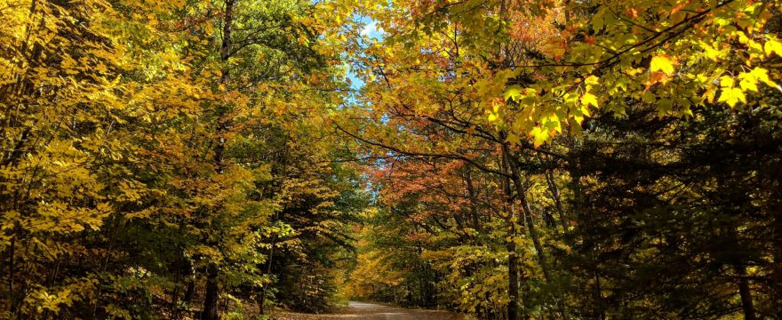
In other news, we saw our first light dusting of snow last week…
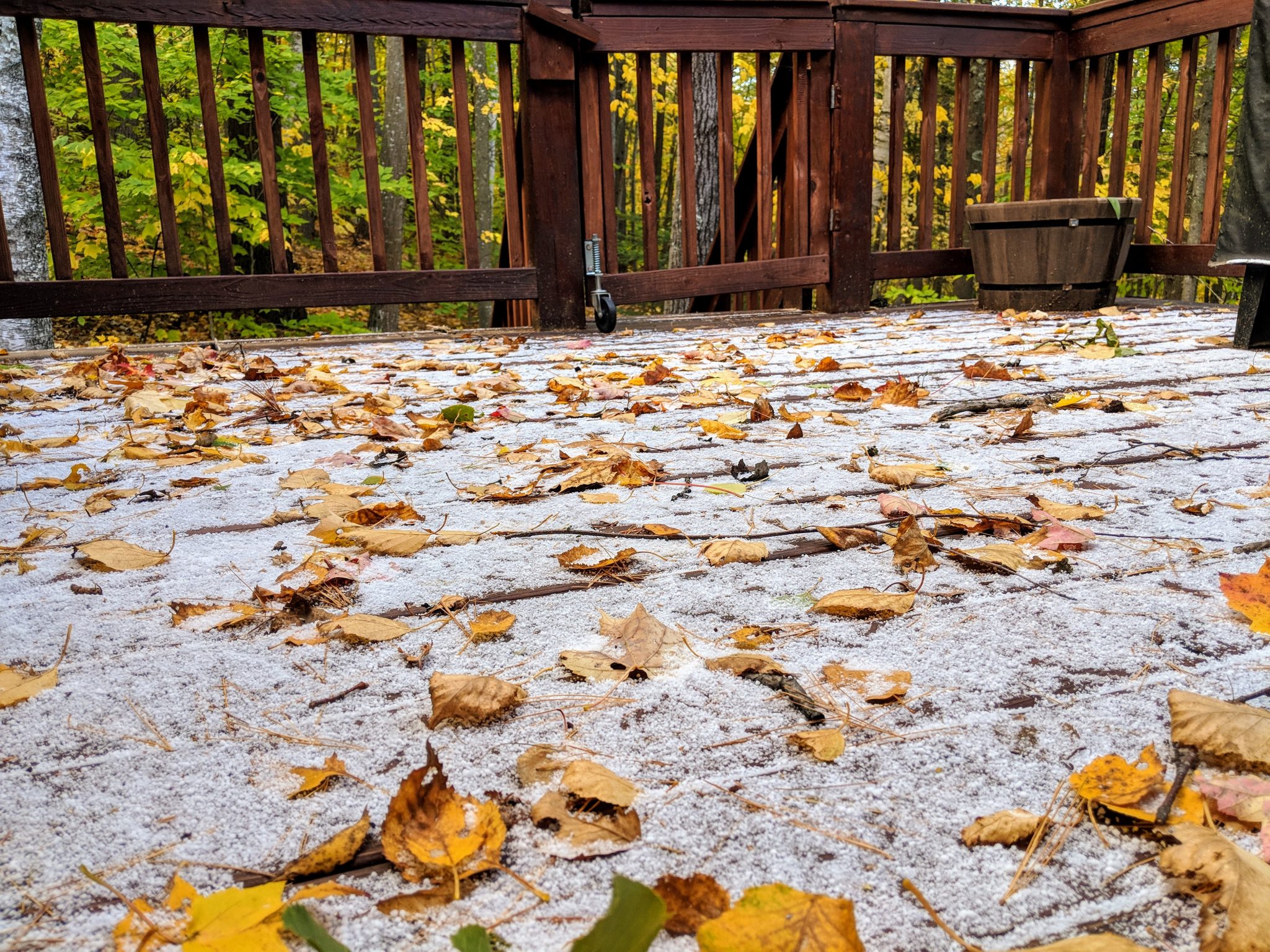
Time to break out the skis! #BecomingNewHampshire